


{"cpt":"blog","style":"1","columns":"3","show":3,"from_category":["civil-and-mining-geotechnics","development","management-services","mineral-exploration","mining","mining-engineering","operational-geology-and-resources","planning","structural-and-engineering-geology","survey-and-geospatial","technical-reporting","tips-advice"],"order":"DESC","orderby":"DESC"}
News
A new perspective on rock mass
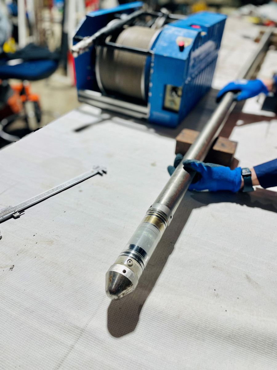
GMEK's Technical Director Michael Munro had the privilege of presenting at the first #BOHOGS technical meeting of 2024. Here is…
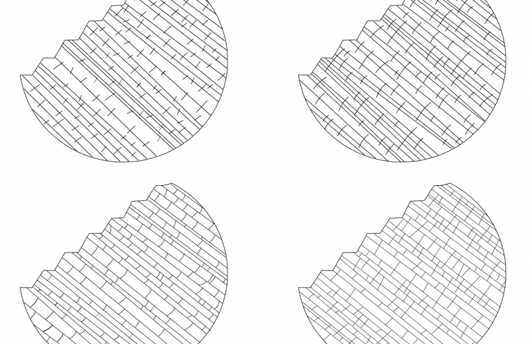
Seeing the patterns in geological structures
If you hadn't the chance to read Maptek's December 2023 Forge magazine, they have published the article covering the modelling…
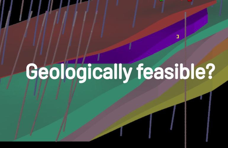
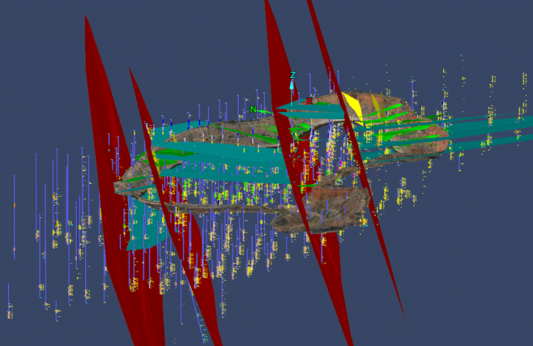
Time for a new approach to complex narrow veins
There’s often a reason why it’s hard to find examples of narrow vein models shown next to their surface analogues,…